promoter

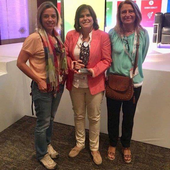
SNIMar geoportal received the "Geospatial World Excellence Awards 2018" in Hyderabad, India, on 19th of January, awarded by the Geospatial World Forum 2018, within the scope of the 2018 Geospatial World Forum Conference.
This award aims to distinguish thematic geospatial tools, in which the SNIMar geoportal fits in, with the objective
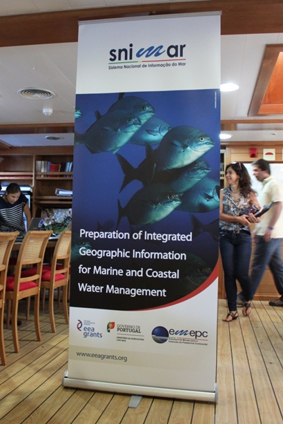
The main product of the pre-define project Preparation of integrated geographic information for marine and coastal water management (SNIMar project) was a geoportal which is an important tool for the environmental management of Portuguese marine waters.
After completing the implementation of the SNIMar geoportal it is important to disseminate the best
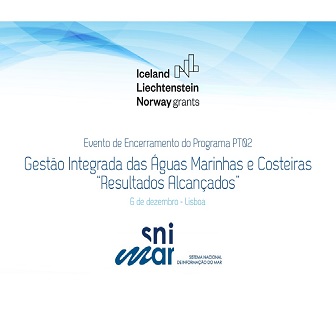
The closing session of the Program PT 02 - Integrated Management of Coastal and Marine Waters from the EEA Grants 2009-2014 was held on 7th December 2017. The ceremony took place at the Pavilhão do Conhecimento in Lisbon and included a conference and exhibition area.
The ceremony was attended by the
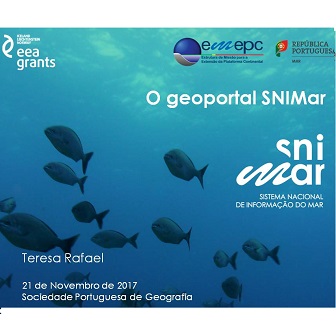
The SNIMar project was presented at the Geography Society of Lisbon, on November 21st of 2017, under the Colloquium "Explore 3D Geographic Information" in the panel dedicated to WebSig.
The organization of this colloquium was carried out by the Section of Mathematical Geography and Cartography
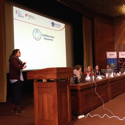
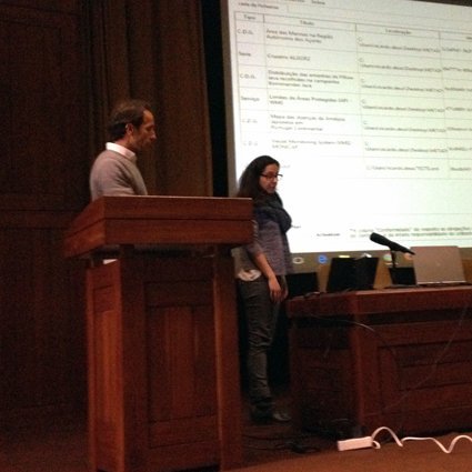
The SNIMar project team of EMEPC participated in the VIII Iberian Conference on Spatial Data Infrastructures (JIIDE), which took place in Lisbon, between 15th and 17th November, 2017.
Two communications were presented at the JIIDE Conference entitled "The SNIMar geoportal" and "Collaborative Keywords". In the first

The SNIMar project was presented in the Directorate-General for Natural Resources, Safety and Maritime Services (DGRM), on 13th November 2017, to a delegation from the Turkish Ministry of the Environment under the project entitled "Capacity building on the Marine Strategy Framework Directive in Turkey ".
The main goal
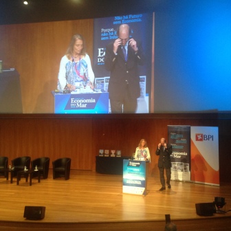
The III Big Conference of the Journal of the Sea Economy was held on 23 June 2017 at Centro de Congressos do Estoril. This year the conference was dedicated to the “Salt and the Life of the Sea of Portugal”. This event included the
The SNIMar Project and particularly the geoportal have been widely disseminated in the media, such as the Diário de Notícias, Sic Notícias, TSF, Revista da Marinha, Jornal da Economia do Mar,
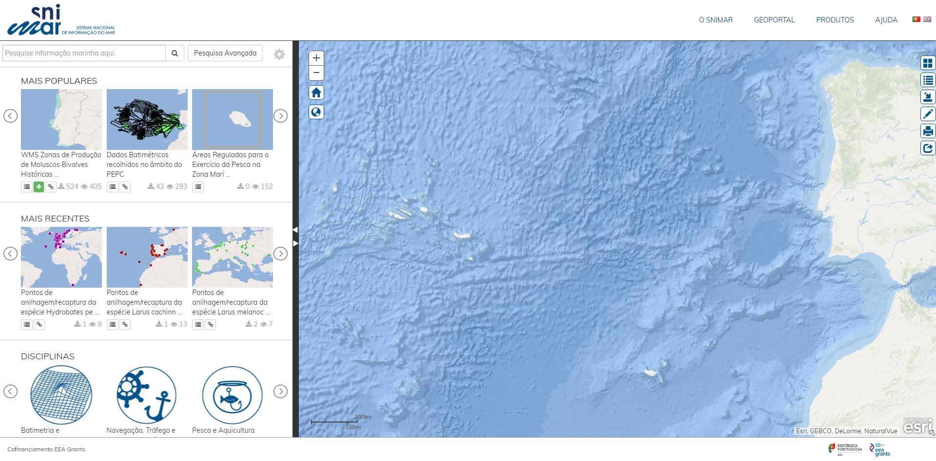
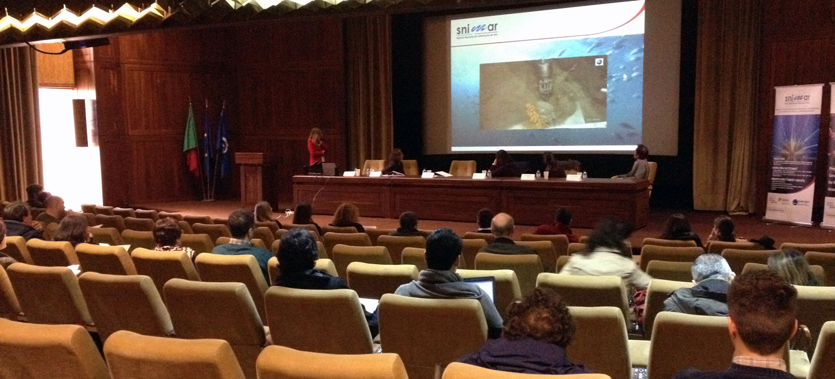
The final session of the SNIMar Project – Preparation of integrated geographic information for marine and coastal water management was held on 19 April 2017, and included the official launch of the SNIMar geoportal. The event took place at the Centro Cultural de Belém, Lisbon and was attended by
The SNIMar Project – Preparation of integrated geographic information for marine and coastal water management began in June 2014 and will be concluded in April 2017, with a total duration of 35 months. Thus, SNIMar will hold a closing meeting to publicly present the geoportal as well as other products
The 4th SNIMar project training session was held on the 24th of November at the Aeronautics Military Center in Paço de Arcos, where the EMEPC facilities are located. Since this was the last (planned) training session, its main objectives were the presentation of the work undertaken and the evaluation

The 14th Esri Portugal Users’ Meeting (EUE) was held on November 16 and 17, 2016 at Culturgest, in Lisbon. This meeting gathered over 1000 participants to share skills and knowledge in Geographic Information Systems (GIS) and to disseminate the most relevant and significant projects developed within
On the 15th of November the SNIMar project was presented to the Joint Research Centre and the European Academies’ Science Advisory Council’s delegates, which were in Portugal for the presentation of the report “Marine sustainability in an age of changing oceans and seas”. The presentation took
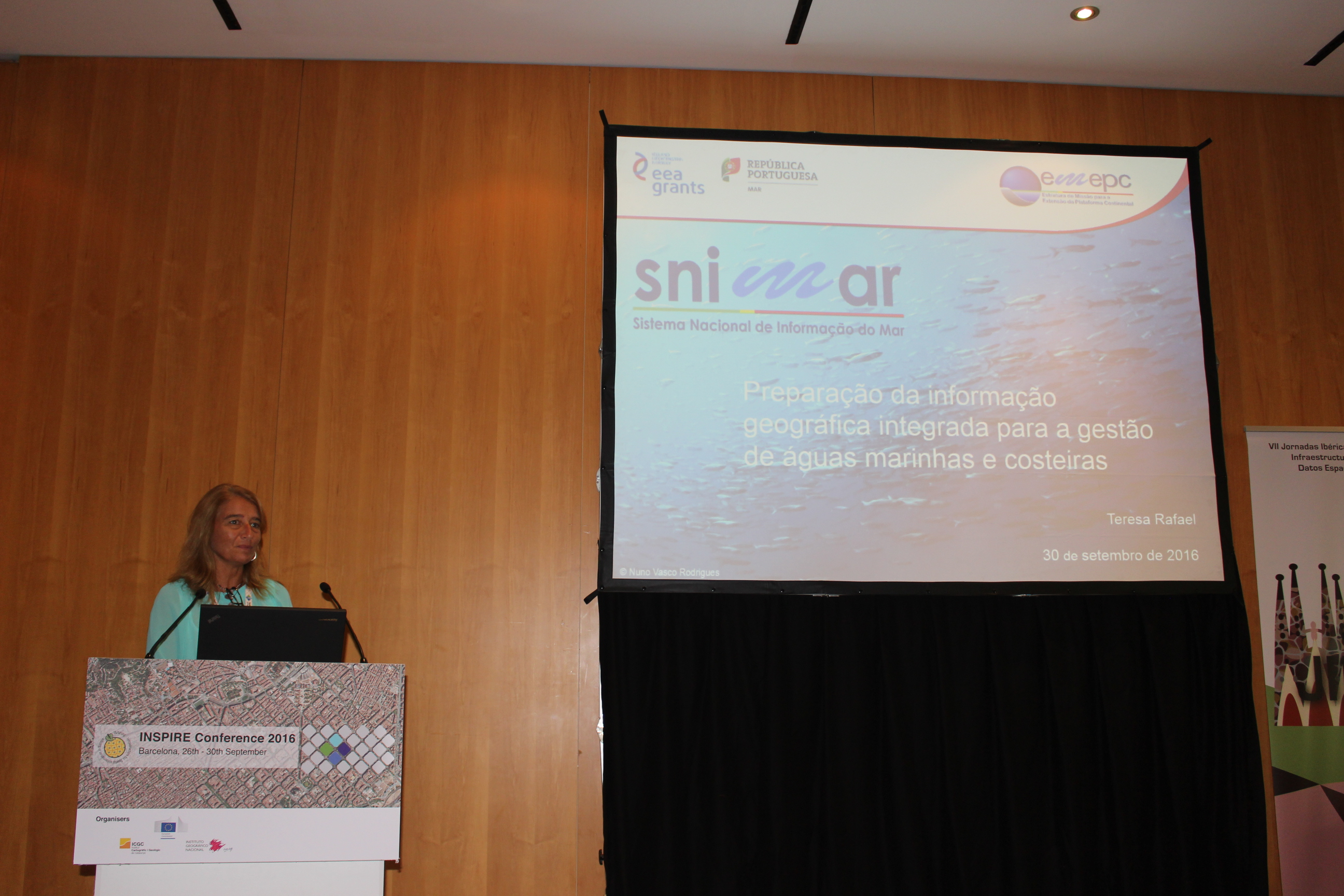
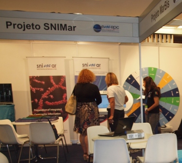
The SNIMar project was present at both the INSPIRE Conference and the VII Spatial Data Infrastructures Iberian Journeys (JIIDE), that took place in Barcelona, between the 27th and 30th of September.
Two communications were presented at the INSPIRE Conference with the following titles:
On the 16th and 17th of June 2016 a Portuguese delegation of the SNIMar project team has carried out a visit to the National Land Survey of Iceland (Reykjavik, Iceland). The main objective of the visit was the divulgation of the project to the Icelandic institutions which produce marine
Members of the SNIMar project participated in the INSPIRE validation workshop organized by the EuroGeographics INSPIRE KEN, Joint Research Centre (JRC) and EuroSDR, in Marne-la-Vallée, France, on the 2nd and 3rd of June 2016. See the program here.
This workshop was intended to
The SNIMar project was present on the days 2, 3 and 4 of June at the Oceans Business Week, an initiative organized by the Ministry of the Sea in partnership with the Portuguese Industrial Association, which was attended by universities, research centers and industries related to
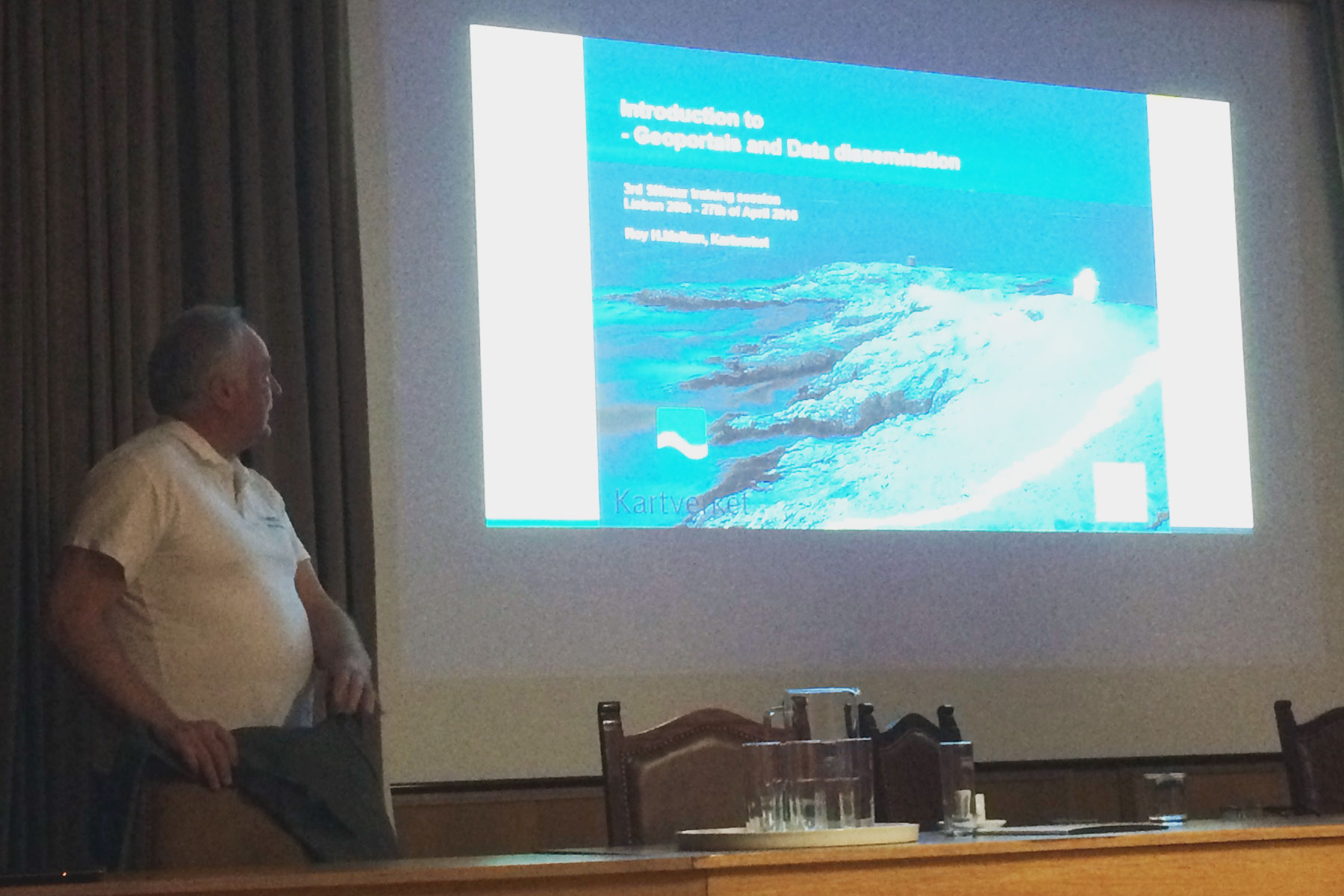
The 3rd SNIMar project training session was held on the 26th and 27th of April at the Electronics Military Center in Paco de Arcos, where the EMEPC facilities are located. This session aimed to provide the opportunity to discuss experiences and best practices relevant to the development of SNIMar geoportal,
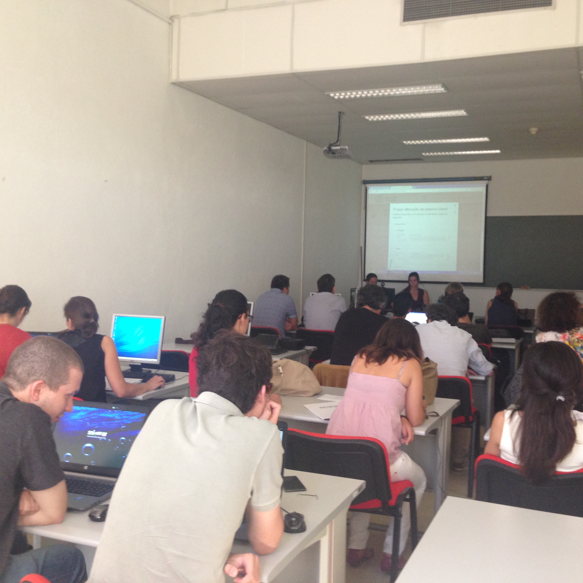
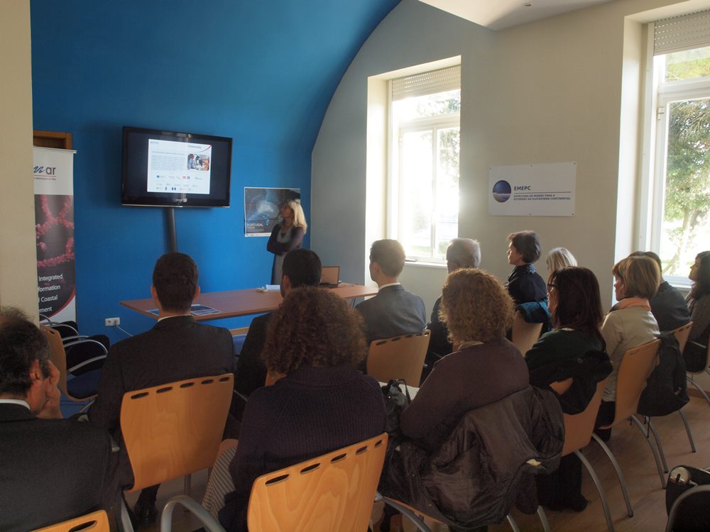
Several tools developed by the SNIMar project were presented last February 24 in the IPMA auditorium, in Algés. The presented tools - SNIMar Profile, Collaborative Keywords app and SNIMar Metadata Editor – provide a harmonized and comprehensive approach that entities and institutions may use
The 2nd training session of the SNIMar project took place between 17 and 19 June at IPMA’s facilities. Over three days, participants shared relevant know-how for the development of the geoportal and for the capacitation of the SNIMar team. See the programme here.
From the
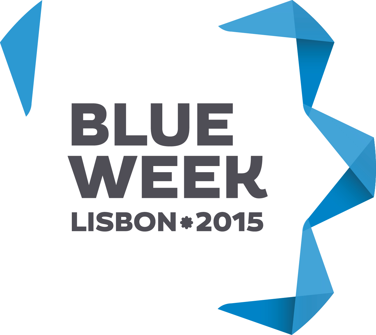
The SNIMar project was present at the Blue Business Forum, one of the events that marked the Blue Week Lisbon 2015 that took place in early June. The Blue Business Forum provided a place where businesses and institutions could display research projects, technology and innovation that may contribute
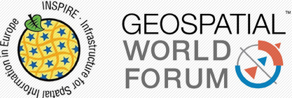
The SNIMar project was present at the INSPIRE - Geospatial World Forum, that took place in Lisbon between 22 and 29 May. The 5-day long conference brought together over 1,700 participants from 104 countries to share ideas, experiences and knowledge on the harmonization and interoperability of geospatial
The communication strategy of the SNIMar project was presented through an oral communication at the SCICOM PT 2015 Congress, which was held in Lagos between the 28th and the 30th of May.
This event provided the space and the ideal audience - experts in science communication - to

The SNIMar project has developed a new app to build a marine dictionary through the collaboration of experts from the various marine-related fields and disciplines. With this dictionary, we will enrich and fine-tune the search tools of the SNIMar geoportal. The application Collaborative Keywords was presented by Inês
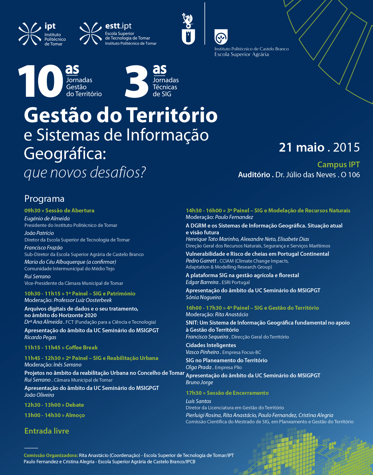
The SNIMar project will be presented at the Tenth Round of Sessions on Land Management/Third Round of Technical Sessions on Geographic Information entitled "Land Management and Geographic Information Systems: new challenges".
Our partner DGRM will be represented by Henrique Tato Marinho, Alexandre Neto e Elisabete Dias in this
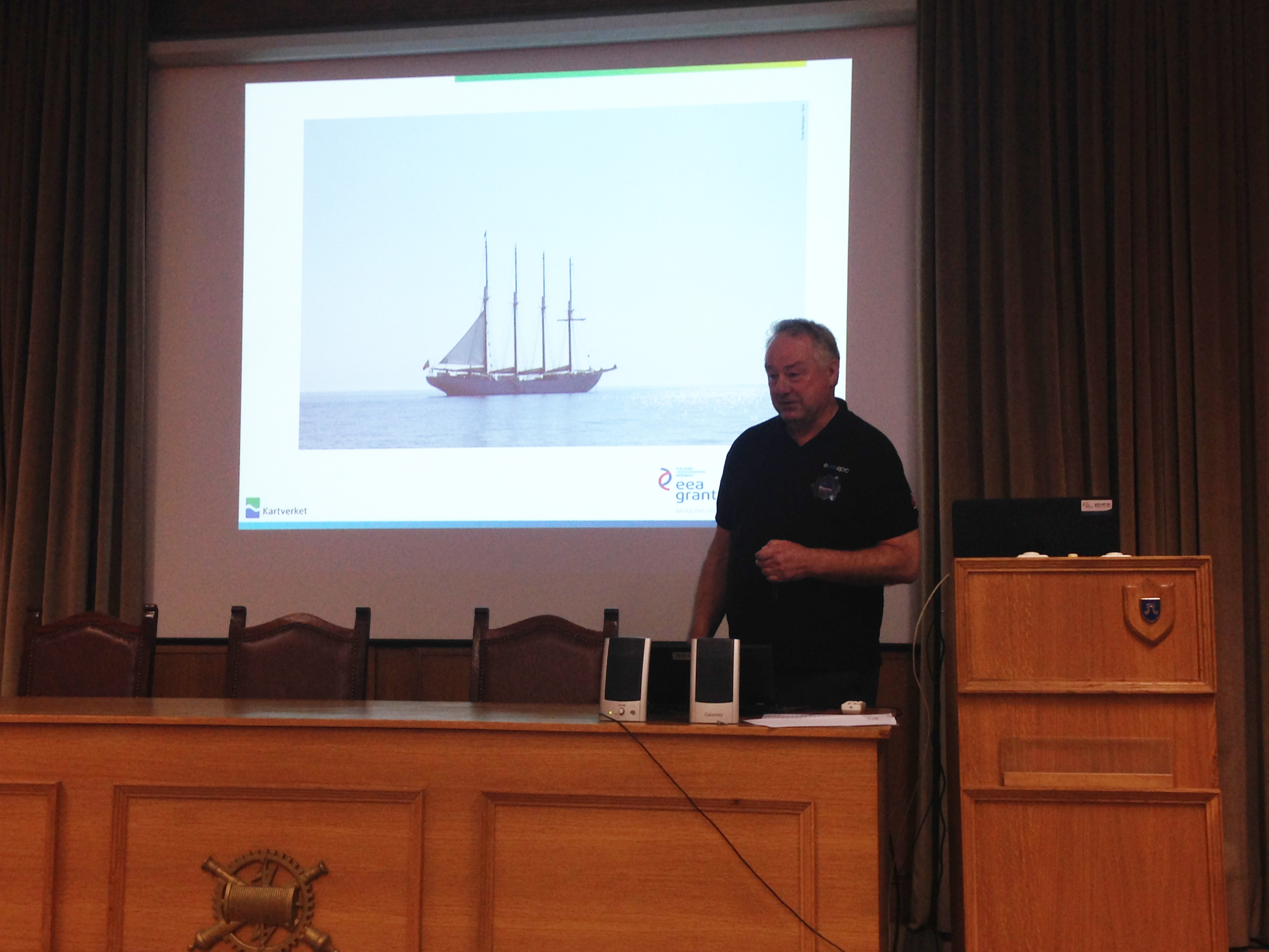
On the 8th, 9th and 10th of December 2014 a Portuguese delegation of the SNIMar project team has carried out a visit to the Norwegian Mapping Authority (NMA), Norway. The main objective of the visit was to become acquainted with a number of public institutions in Norway developing work on
On December 8, 2014 a technical meeting about the EEA Grants Program PT02 - Integrated Management of Marine and Coastal Waters" was held on the premises of the Portuguese Task Group for the Extension of the Continental Shelf in Paço de Arcos. The meeting
The first SNIMar technical training session on spatial data infrastructures took place between the 2nd and the 4th of December on the premises of the Directorate-General for Territorial Development in Lisbon. This training session was held under the partnership agreement signed between the Portuguese Task Group for the Extension of the
Project SNIMar was presented on October 2, 2014. It is one of the two predefined projects related to implementation of the EEA Programme “Integrated Marine and Coastal Waters Management” and aims at preparing spatial information for the integrated management of the marine environment. The project promoter is the
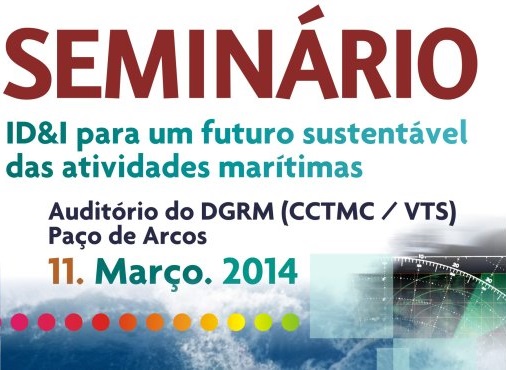
Ensuring the sustainable future of marine activities through research, development and innovation (RD&I) was the topic proposed for discussion by the AFCEA Portugal at the seminar that took place in Paço de Arcos on the 11th of March. Teresa Rafael, the coordinator of SNIMar, presented the
Several tools developed by the SNIMar project were presented last February 24 in the IPMA auditorium, in Algés. The presented tools - SNIMar Profile, Collaborative Keywords app and SNIMar Metadata Editor – provide a harmonized and comprehensive approach that entities and institutions may use to share their marine information in accordance with the INSPIRE directive. With the use of these three tools, the information shared by entities and institution will be clearly organized. Consequently, users will be able to perform detailed and targeted searches on the SNIMar geoportal.

The event was attended by several promoters of projects that benefit from the EEA Grants program "Management Marine Waters and Coastal Integrated", as well as several partners of the SNIMar project. Conceição Santos, on behalf of the program operator DGPM, opened the event with an overview of this EEA Grants financing program, and Teresa Rafael, from the EMEPC, described the overall context of the SNIMar project. As coordinator of the working group dedicated to metadata, Ana Navarro, from the IDL / FCUL, presented the SNIMar Profile, highlighting its usefulness to organize and produce metadata. Inês Falcão, from the EMEPC, explained the potential of the Collaborative Keywords app for producing and defining good marine-related keywords. Finally, Ricardo Deus and Joana Teixeira, both from IPMA, presented the Metadata Editor, a free access tool to produce, edit and validate metadata. The event was closed by the head of EMEPC, Aldino Campos, who stressed the importance of sharing marine information through the SNIMar geoportal.